Deforestation, usually driven by agricultural development, is a major environmental concern across the edges of the Amazon Rainforest. Those changes were evident at the Tanguro Research Station in Mato Grosso, Brazil.

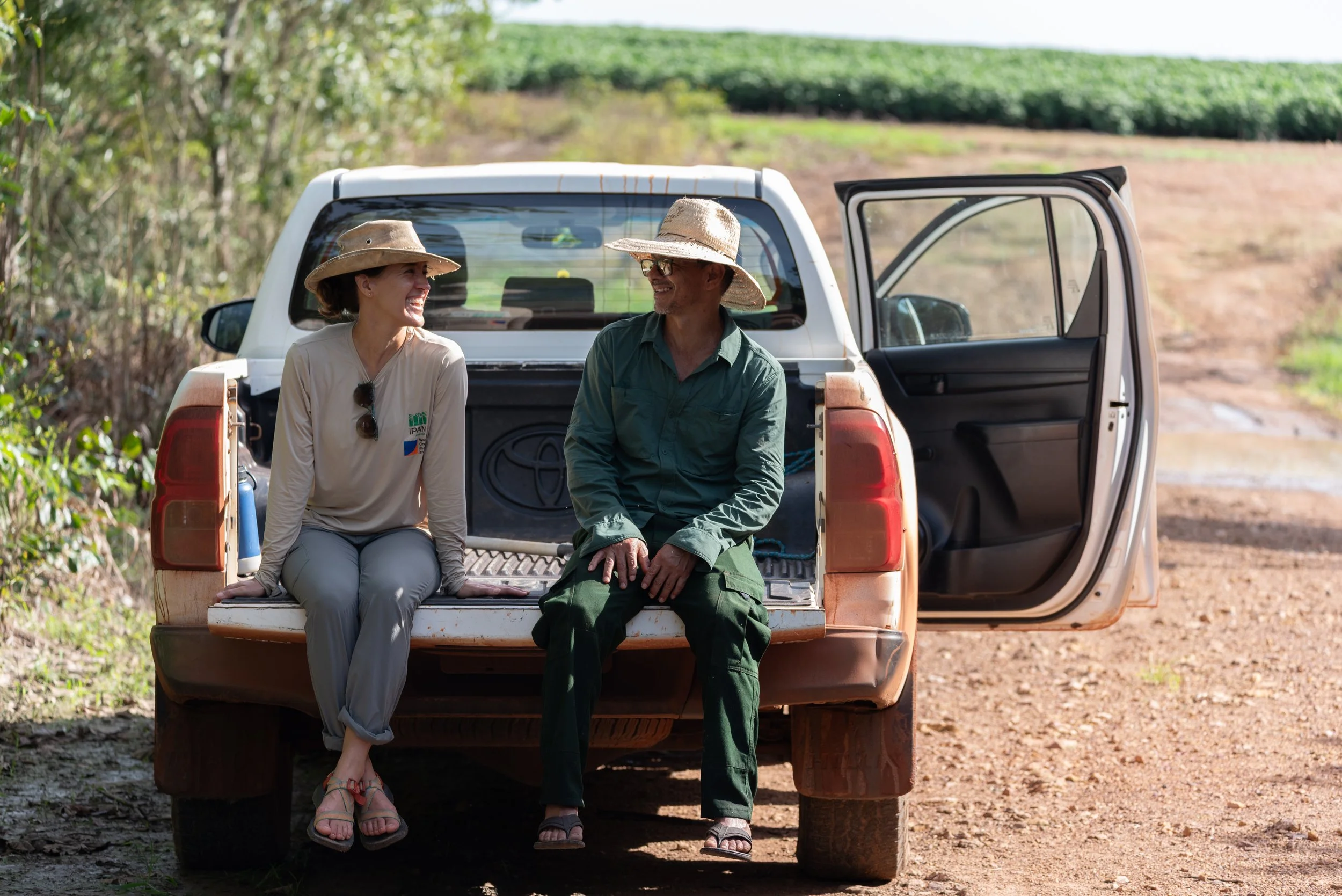
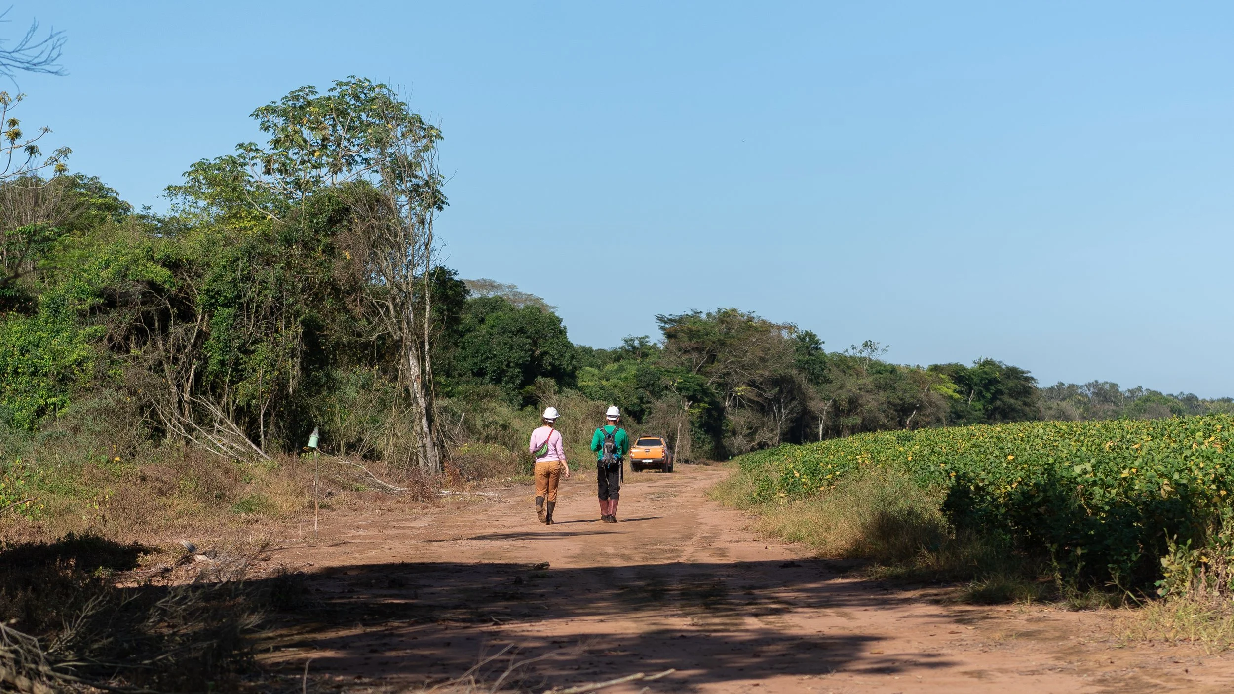
Since 2004, scientists have been allowed to research on the Tanguro farm, which is comprised of about 50% untouched rainforest and 50% farmland. Soy and corn farmlands surrounded the research station. This partnership between farmers and environmental scientists, although tenuous at times, grants scientists the unique opportunity to conduct long-term experiments on how land use change affects the Amazon.

The anthropogenic impact on the landscape was immediately evident at Tanguro. Very few of these plants could be found in an undisturbed rainforest. Even the eucalyptus trees on the horizon aren't native.
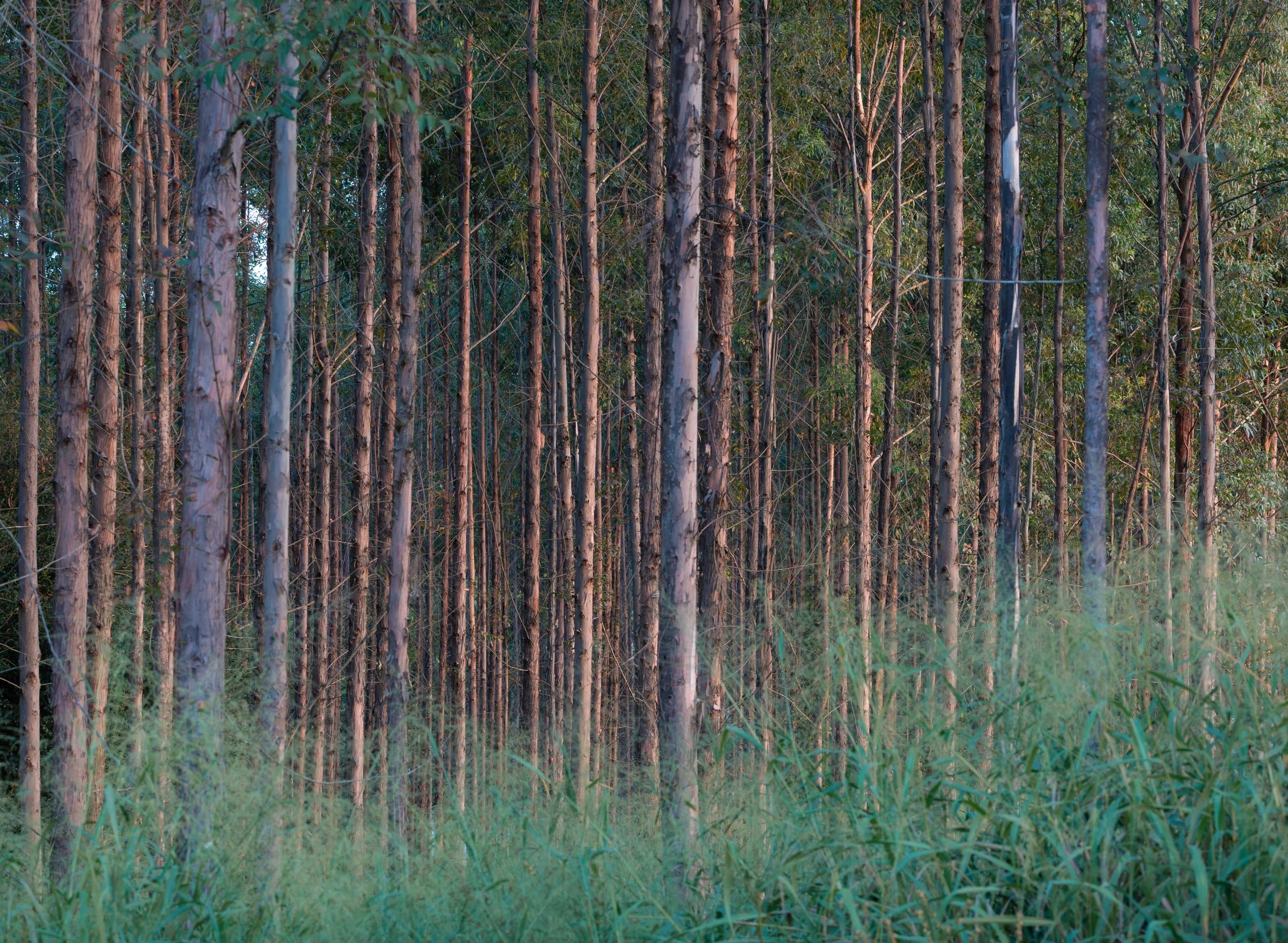
More eucalyptus trees. Farmers plant them for shade after removing the native species.

Even this image contains unnatural land features for a rainforest. A stream was dammed to make this reservoir, which ensures droughts won't affect the ability to produce profitable crops.

Different habitat, different animals. This burrowing owl, which prefers to live in open grasslands, made its home near the research station.

Animals that are native to the area, like tapirs, must navigate forest fragmentation. Here, a tapir wades through a soybean field to reach a different section of forest.
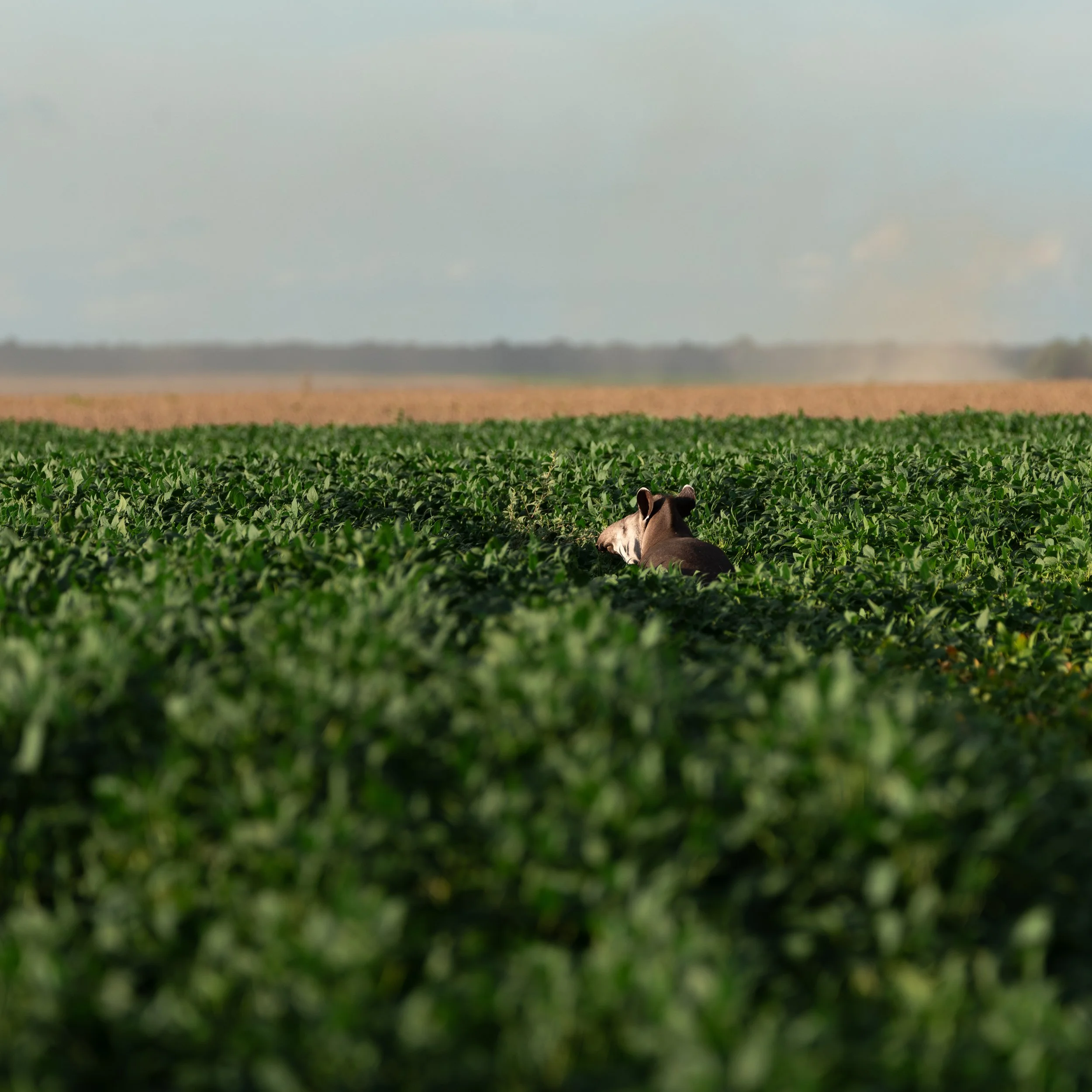
He has a long way to go.
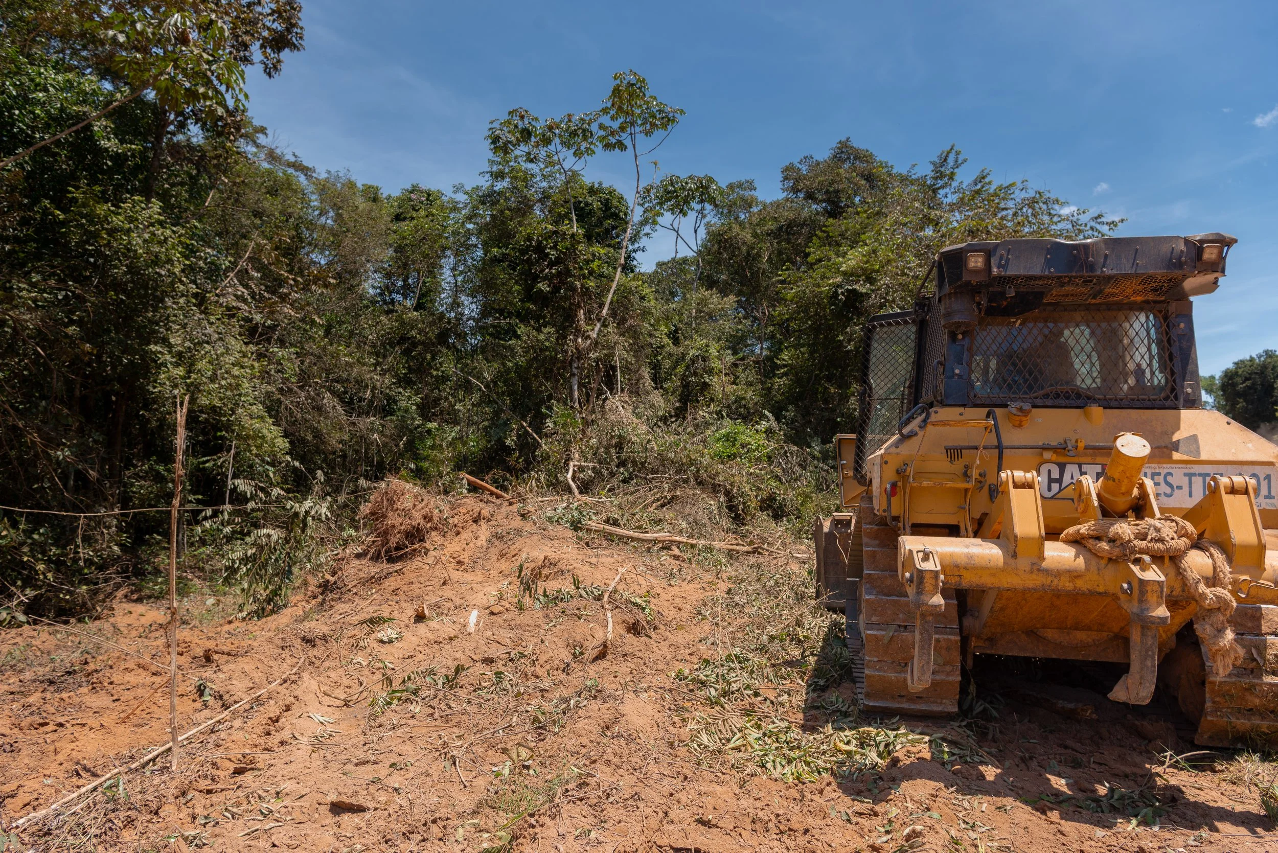
The changes aren't stopping. By this time, none of the trees in this image are left standing, torn down to widen a road to an adjacent farm.
Most people only stay for a short time at Tanguro, but there are a few full-time staff who keep the research going.
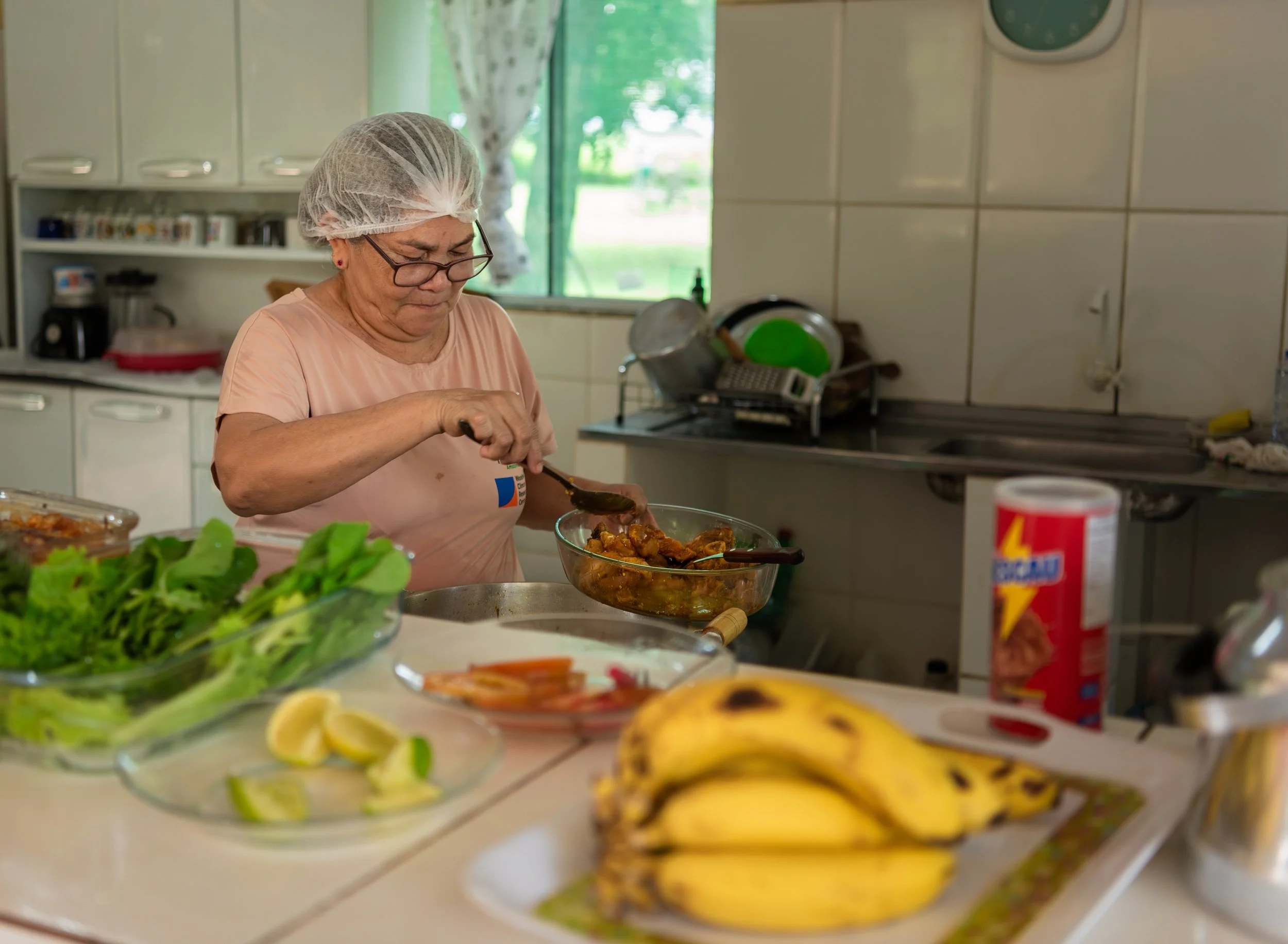
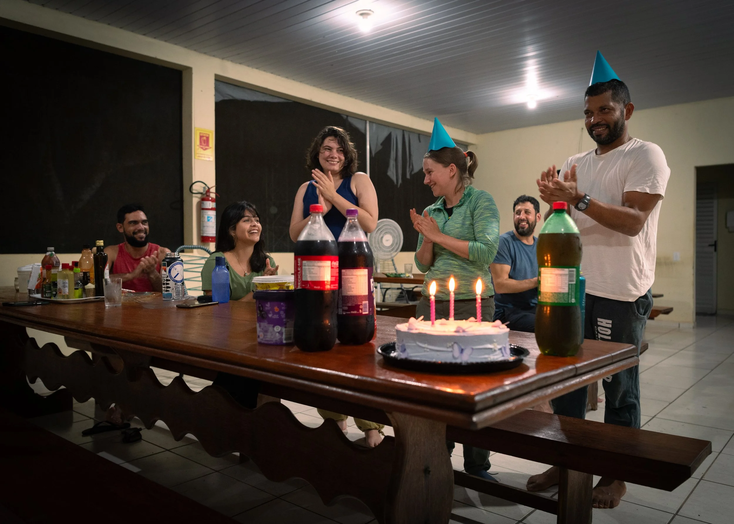
Dona Lúcia kept everyone well fed with three square meals each day in the cafeteria.
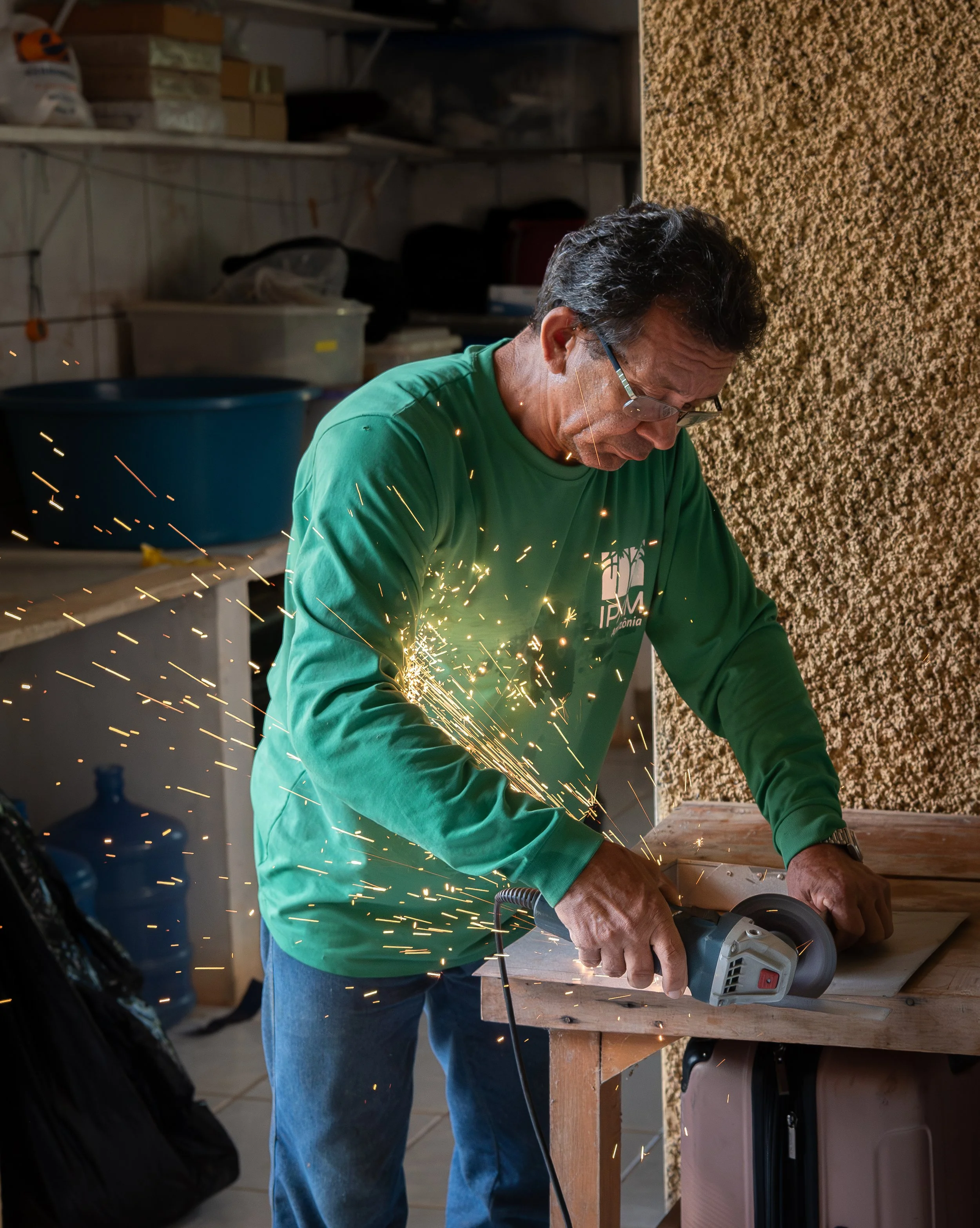
Her husband, Seu Bate, could construct just about anything in the workshop. He has worked at Tanguro since the first year of the project.
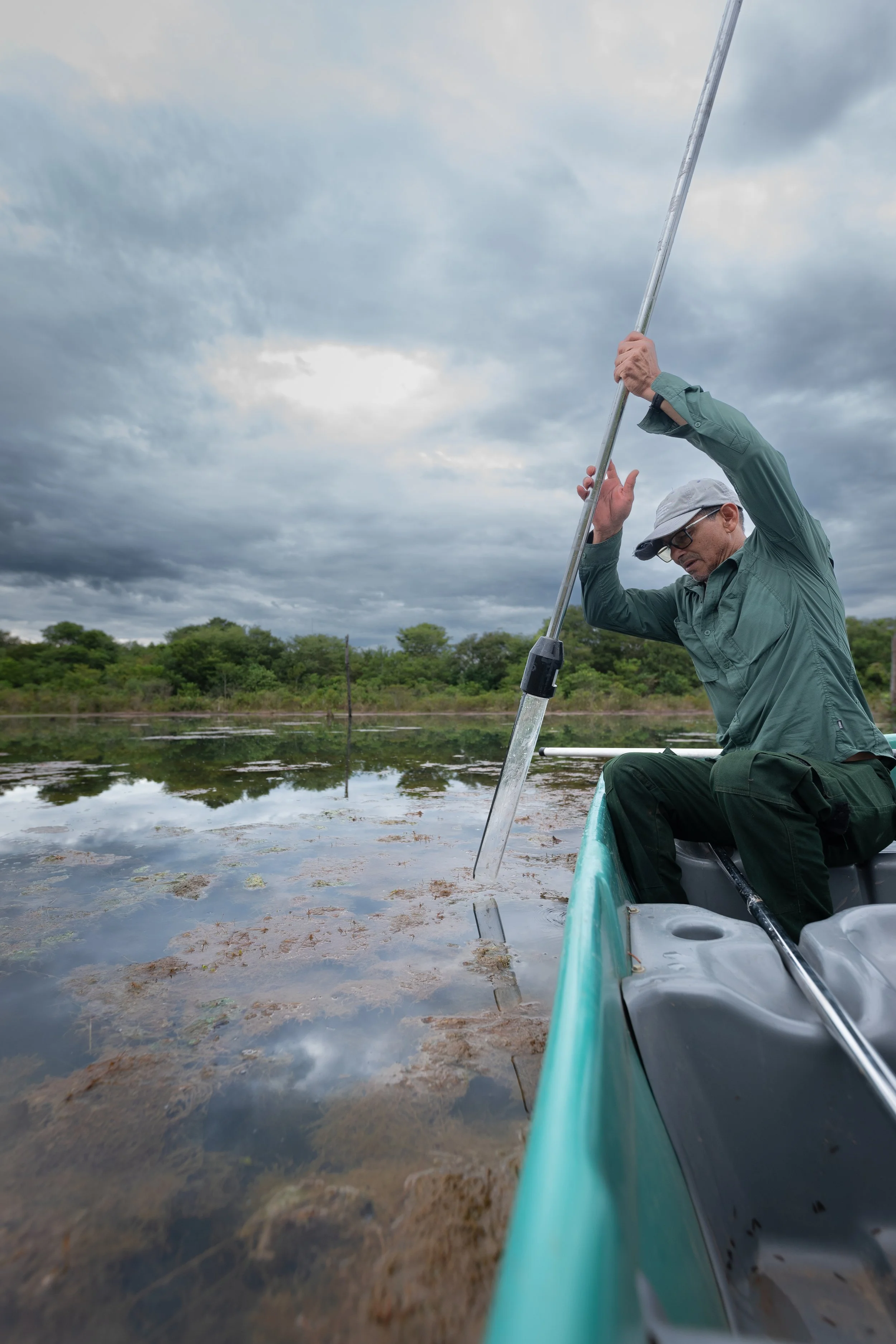
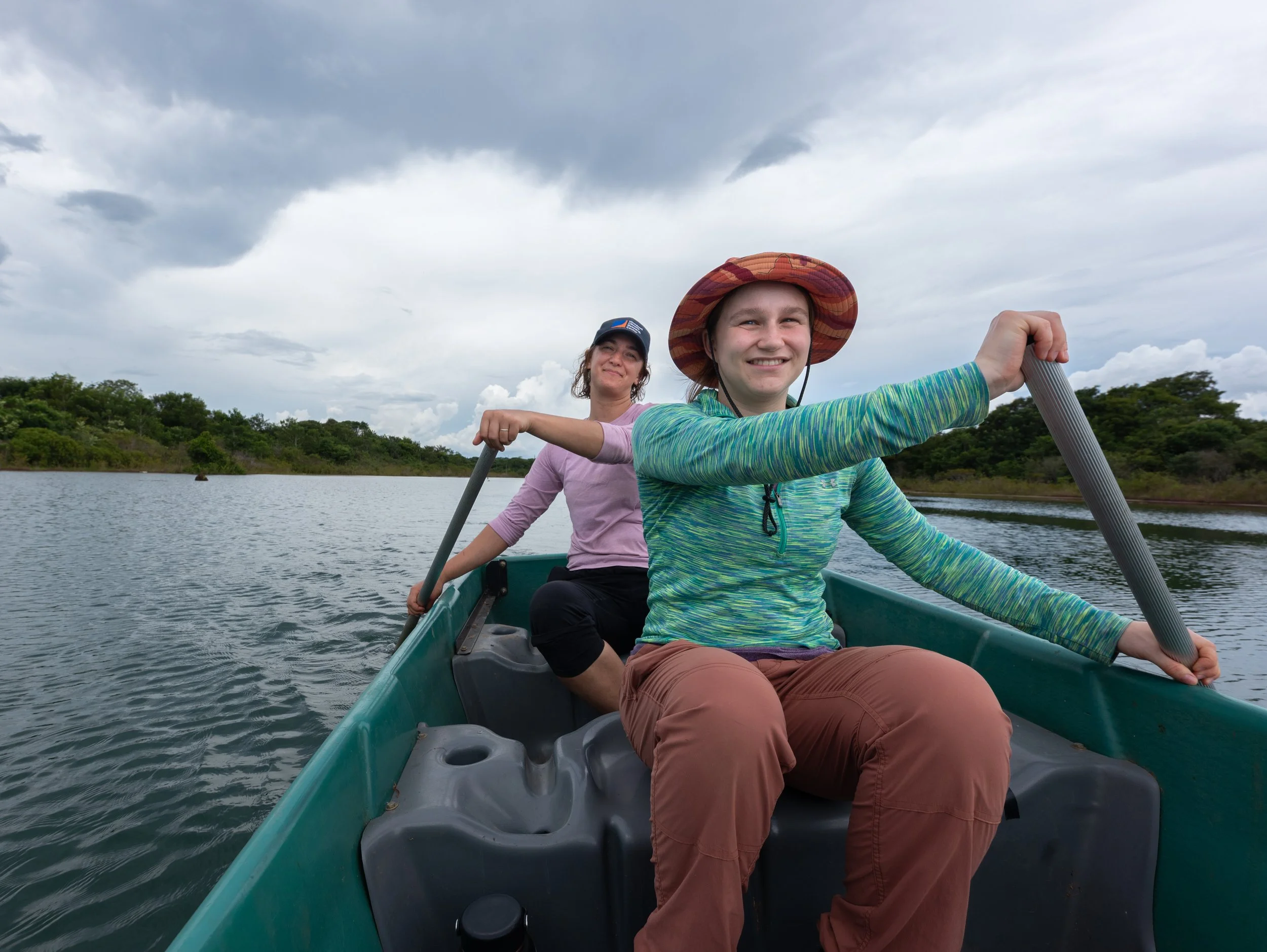
Santarém the boat master, Dona Lúcia's and Seu Bate's son-in-law. He helped with any sampling that happened in the water.
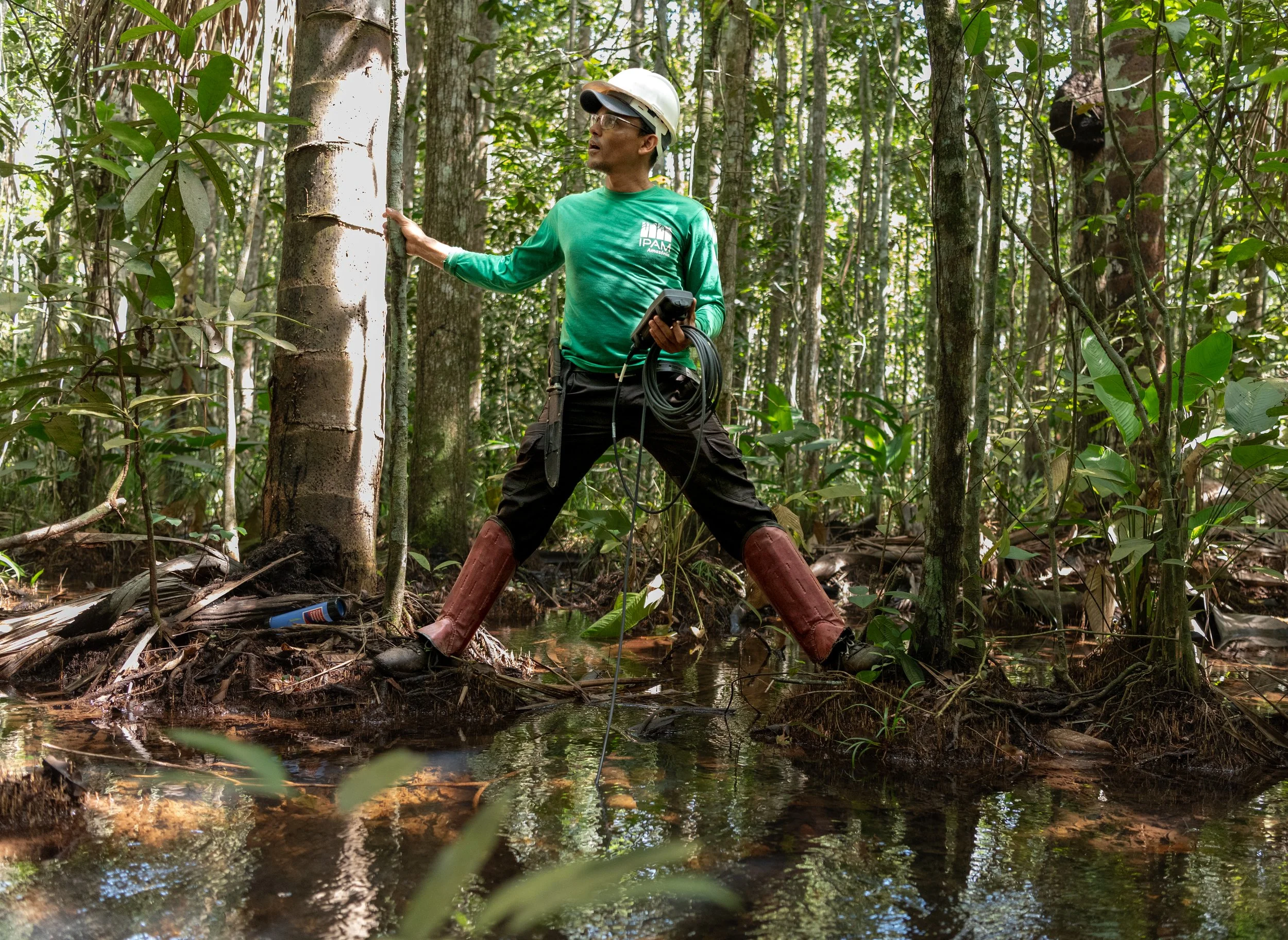
Leo, the program coordinator and a sharp scientist.
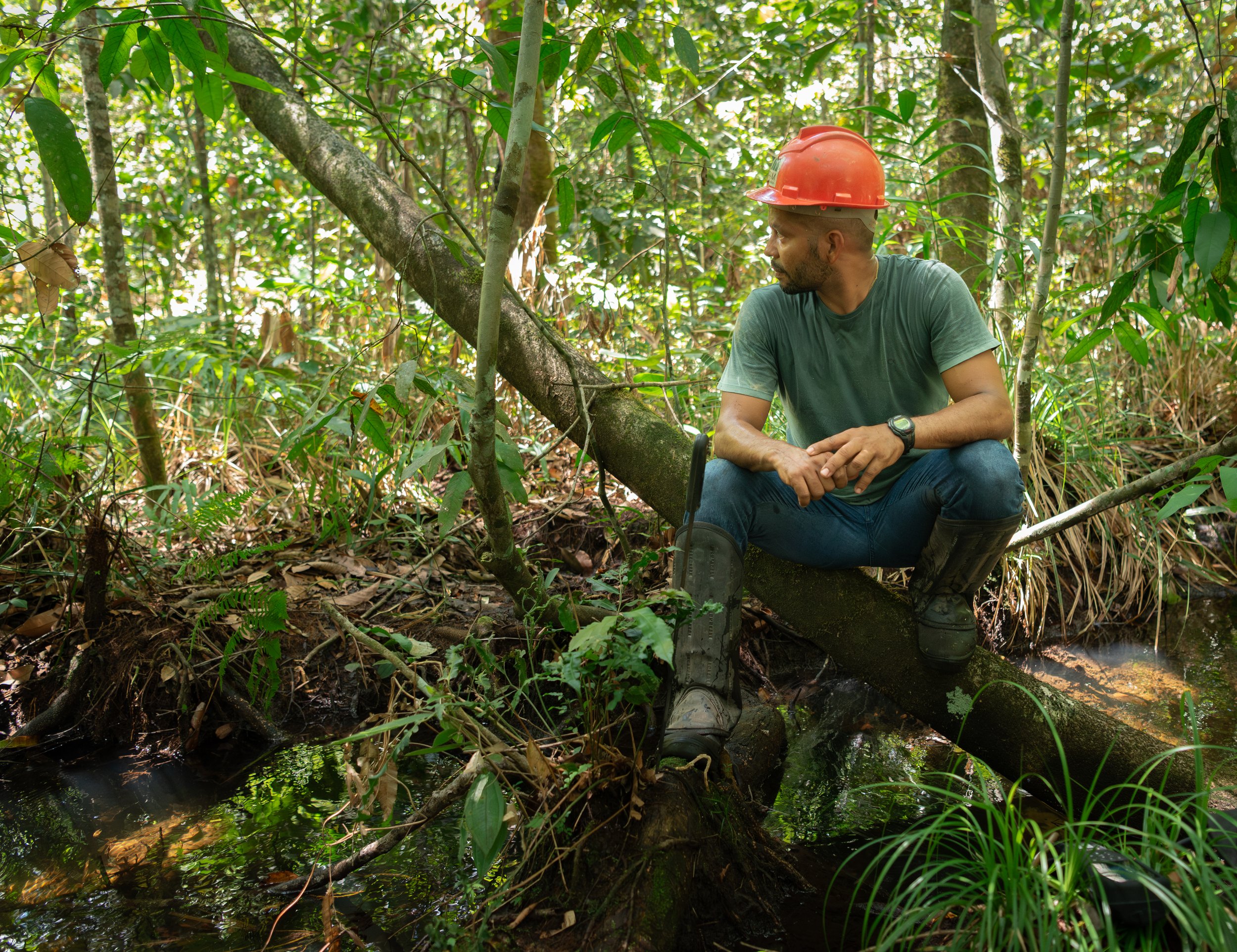
Darlisson, expert jungle navigator.
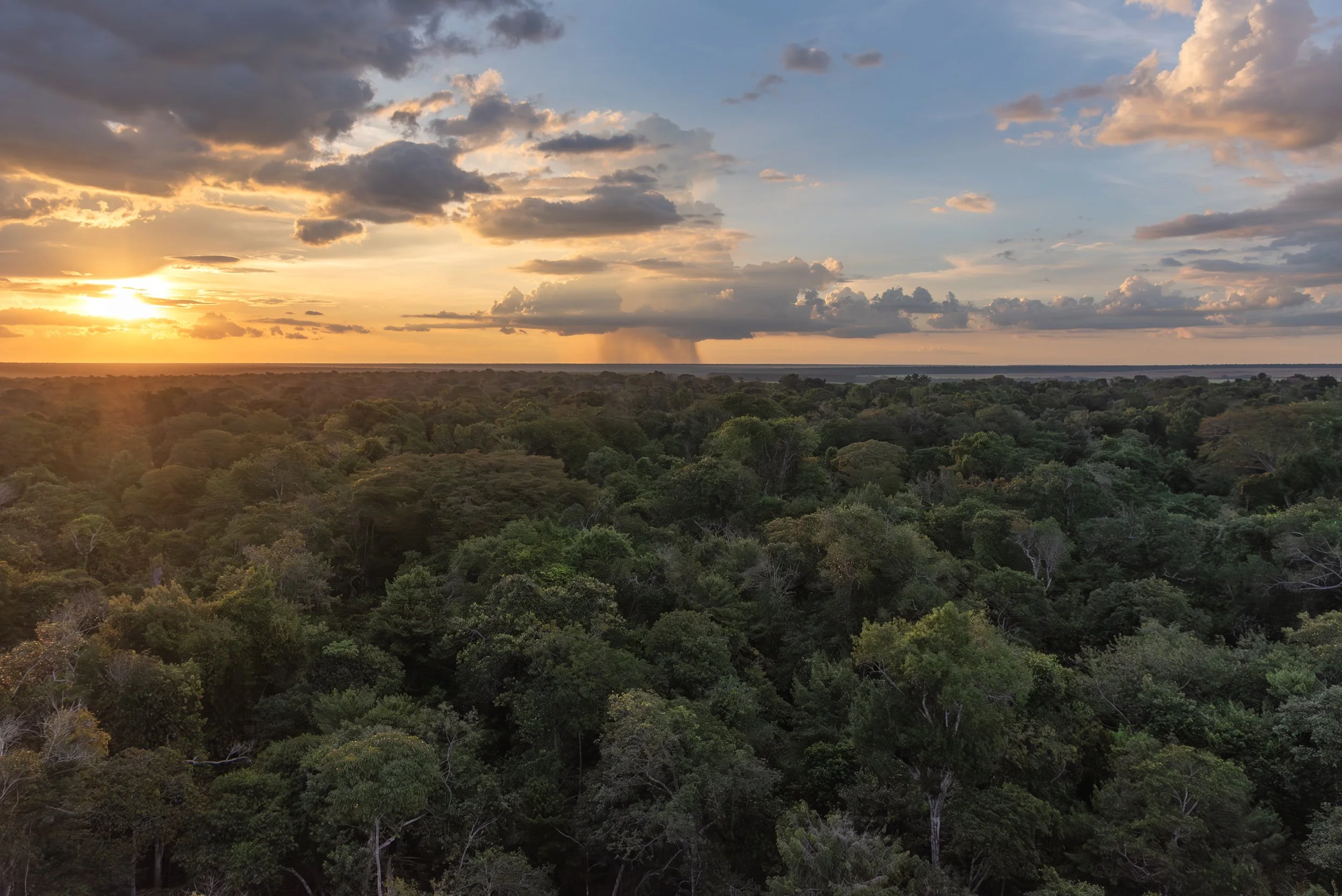
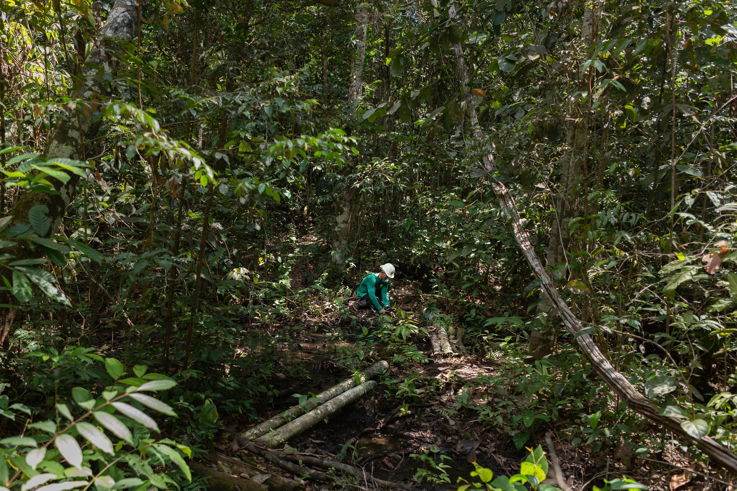

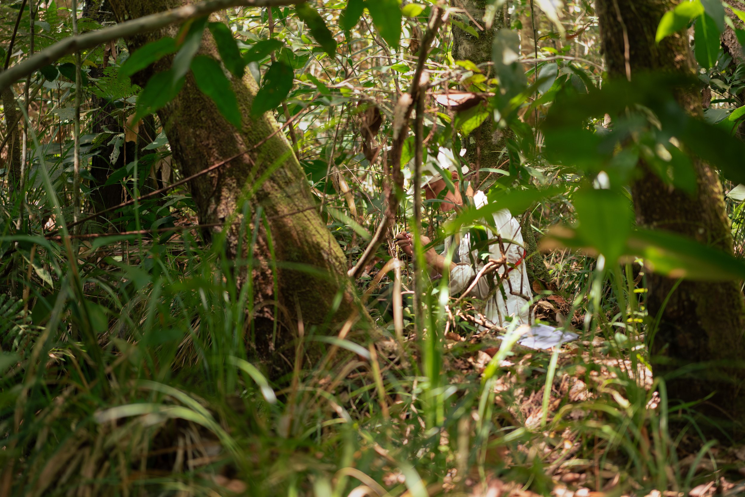


That was a glimmer of what the forest felt like. At Tanguro, everyone was working towards a greater understanding of how to protect and nourish such a unique place for future generations. Here are a few of the projects that the scientists were working on while I was there.

Leo flew thermal drones to better understand differences in the temperature profiles of farmlands and forests. This is especially important for water retention in soil. Forests are shadier and cooler, so water takes longer to evaporate compared to the sunnier farmlands. Look at how dry the dirt road is in this image -- that level of aridity is not natural for this area.
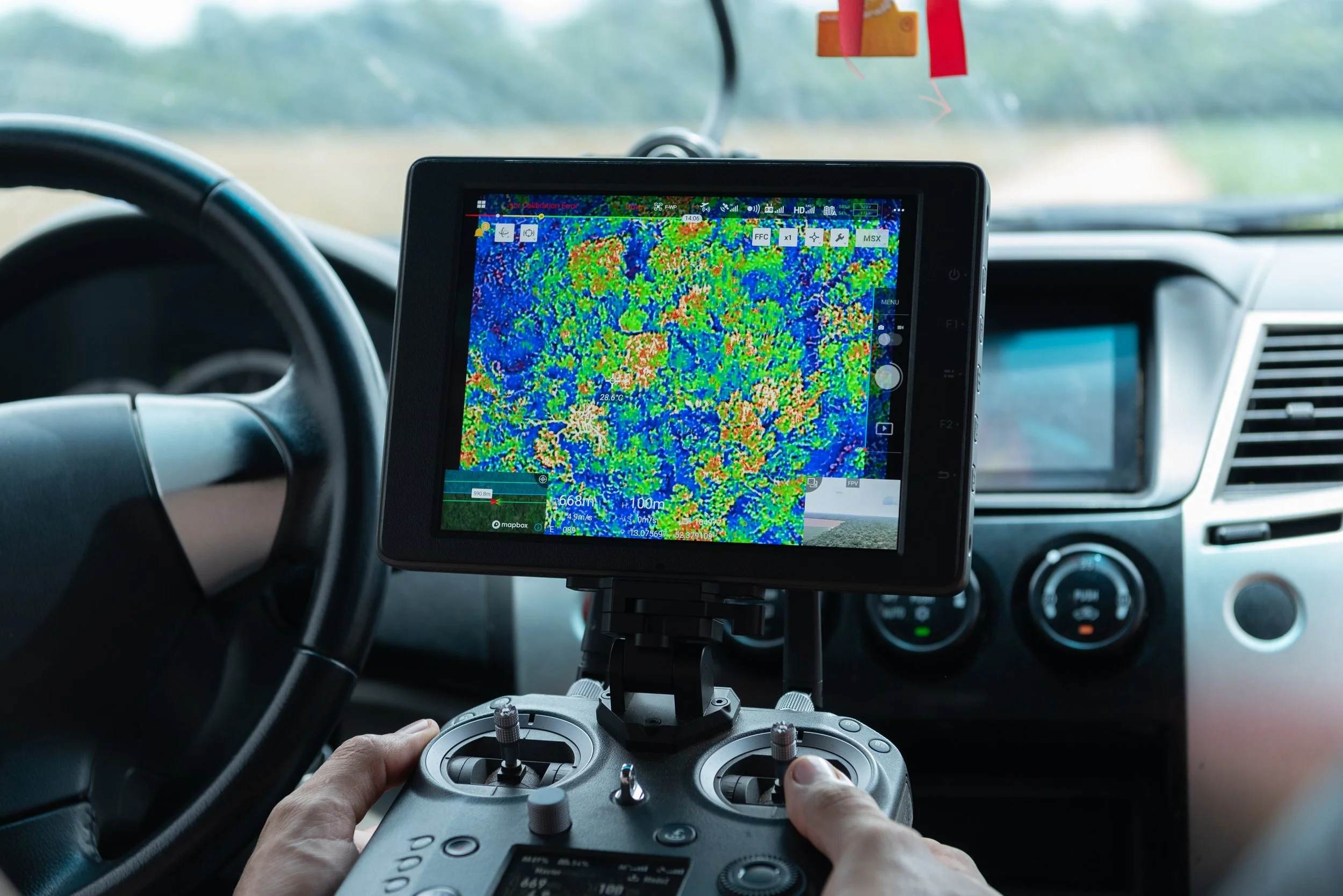
This is a thermal image he took from the drone during a flight. The red areas on the monitor are the hottest, and they are few and far between in the forest. Most of the understory is blue and green, with red present only at the top of the canopy. The thermal profile for the farmlands was filled with oranges and reds.

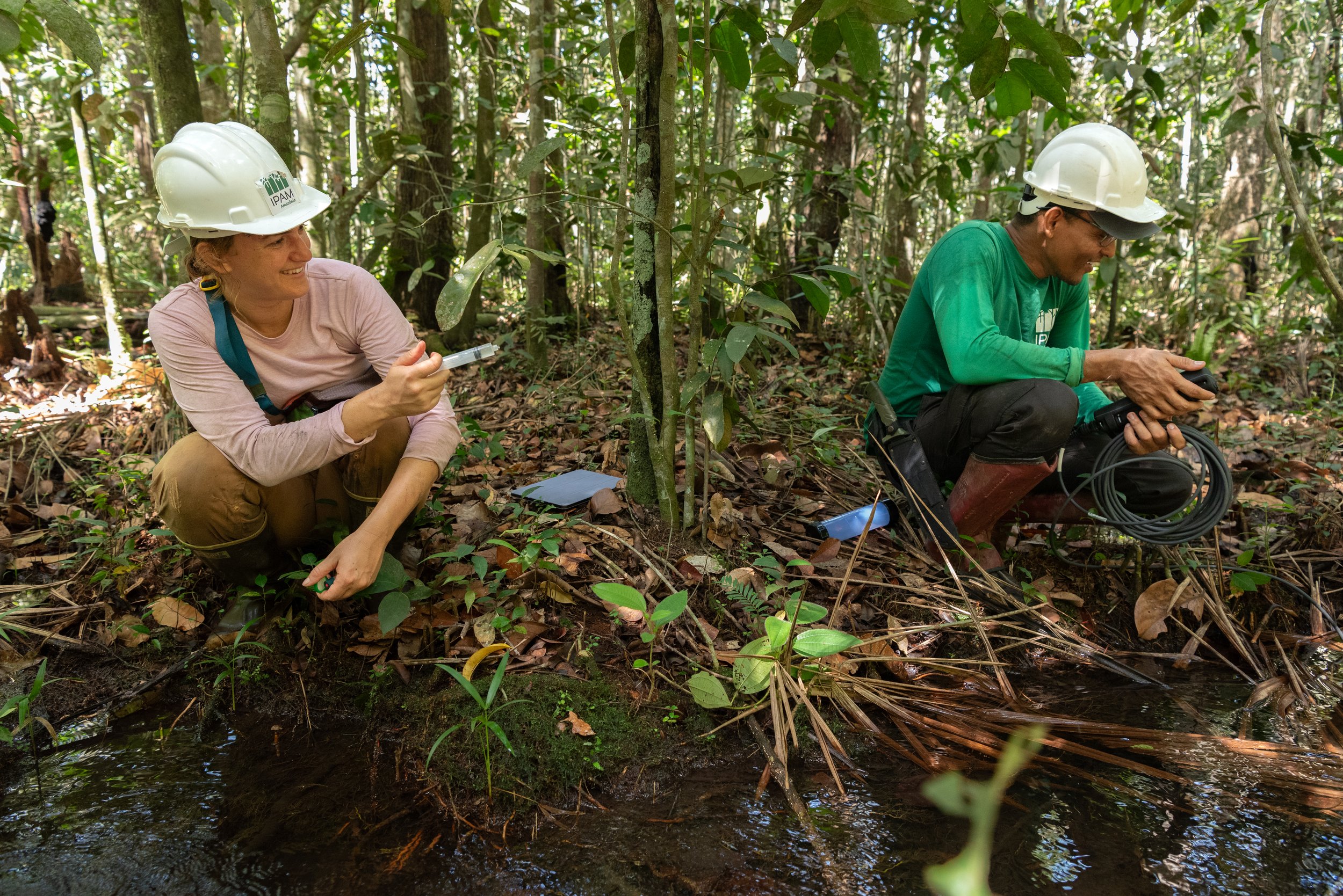
Deep in the forest, a scientist named Abra rinses a syringe with water from a nearby stream. She sampled the same streams at multiple locations, some of which were surrounded by farmlands, others forests.
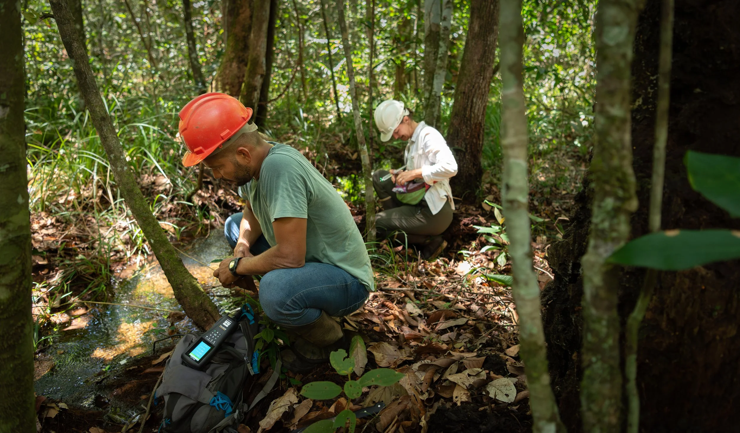
This helped her understand how humans change a river's nutrient levels and temperature. Fertilizers from the farms are carried deeper into the forest by rivers. Water temperatures are higher when there is no shade. Both of these changes affect which species can live in the rivers.
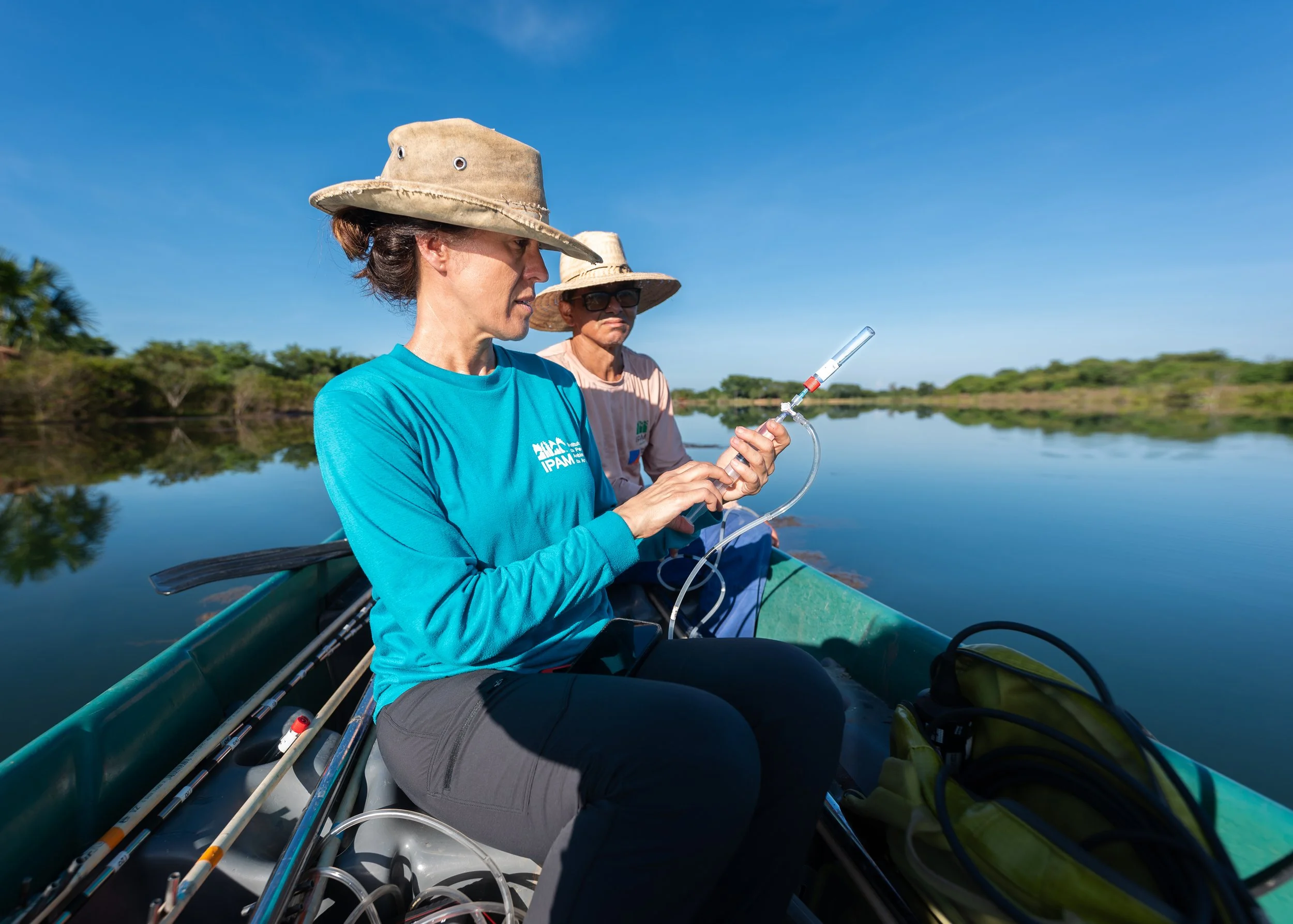
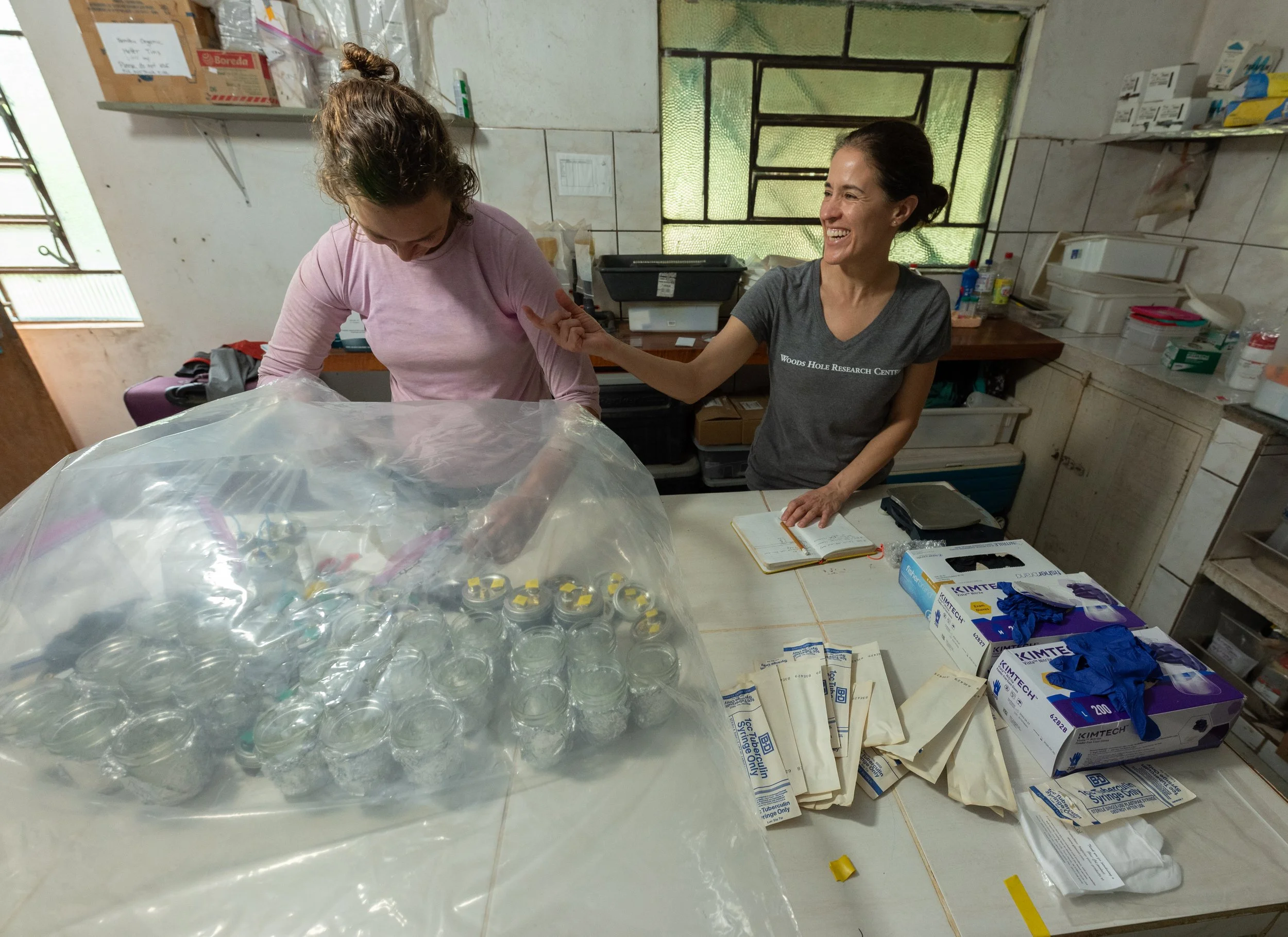
A researcher named Marcia pushes gas that bubbles to the surface of a manmade reservoir into a vial. As plants material decomposes at the bottom of the reservoir, it is eaten by methanogens, bacteria that produce methane. Methane is a potent greenhouse gas. Reservoirs like this one are common across the edge of the rainforest, but we don't have a good understanding of how much methane they release. We test for how much methane is in the collected vials in a laboratory.

In the forest, there is a narrow tower that measures greenhouse gas concentrations, wind speed and direction, and temperature. A single one of these towers can measure these variables across an area around the size of a football field. There is a second tower in one of the farmlands, which allows scientists to compare differences in greenhouse gas emissions and absorptions across the ecosystems.

It's a long climb to the top.
The research and the community strengthen each other.